HISTORIC REPORTS
Over the years, the Boston Groundwater Trust has meticulously compiled a diverse array of detailed reports and maps pertaining to the historic filling of Boston and the ensuing challenges related to wood pilings. Presented below is a concise overview of this extensive compilation, along with access to the comprehensive reports for further insight.
WOOD PILINGS, GROUNDWATER, AND THE BOSTON GROUNDWATER TRUST:
A Model of Cooperative Problem Solving
By Elliott Laffer
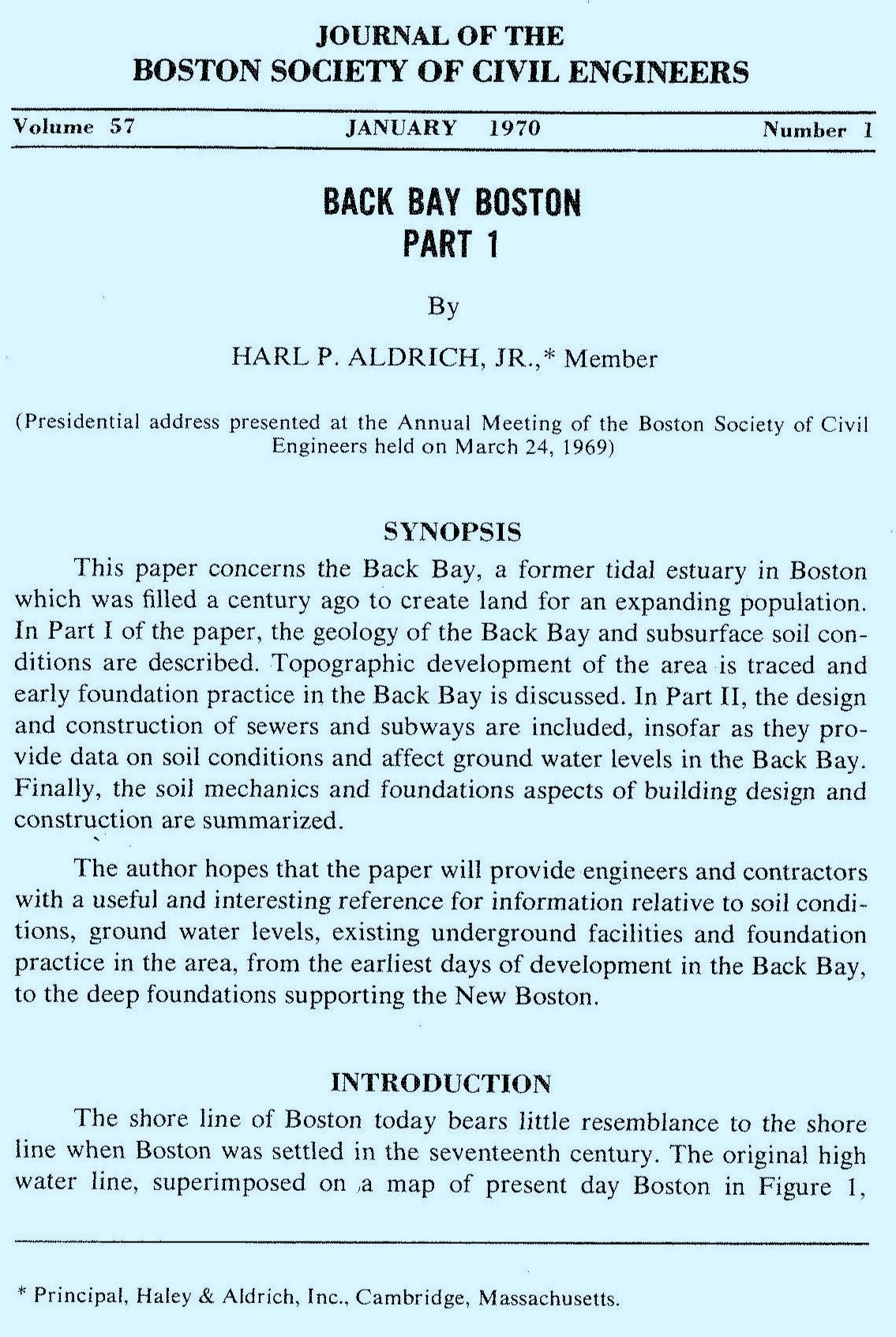
Back Bay Boston, Part I: Geology of the Back Bay, Harl P. Aldrich Report (1970)
Back Bay Boston, Part II: Groundwater Levels, Aldrich and Lambrechts Report (1986)
Report on Groundwater in Back Bay, Boston, Massachusetts (1985)
Investigation of Subsoil and Foundation Conditions (1963)
Stone and Webster Report on Groundwater Observation Wells (1990)
Renovation of Buildings with Timber Pile Foundations in Europe (2021)
The Impact of Stormwater Recharge Practices on Boston Groundwater Elevations,
Brian F. Thomas and Richard M. Vogel (2011)
Wooden Foundation Piles and its Underestimated Relevance for Cultural Heritage (2012)
Ground Penetrating Radar Characterization of Wood Piles and the Water Table in Back Bay, Boston (2003)
The Problem of Groundwater and Wood Piles in Boston: “An Unending Need for Vigilant Surveillance” (2008)
A review and case studies of factors affecting the stability of wooden foundation piles in urban environments exposed to construction work (2020)
Water Resources and the Urban Environment, Lower Charles River Watershed, Massachusetts, 1630–2005
Groundwater Decline and the Preservation of Property in Boston (2006)
Boston’s Groundwater Crisis: Seeking Sound Water Policies in an Unnatural Watershed (2003)
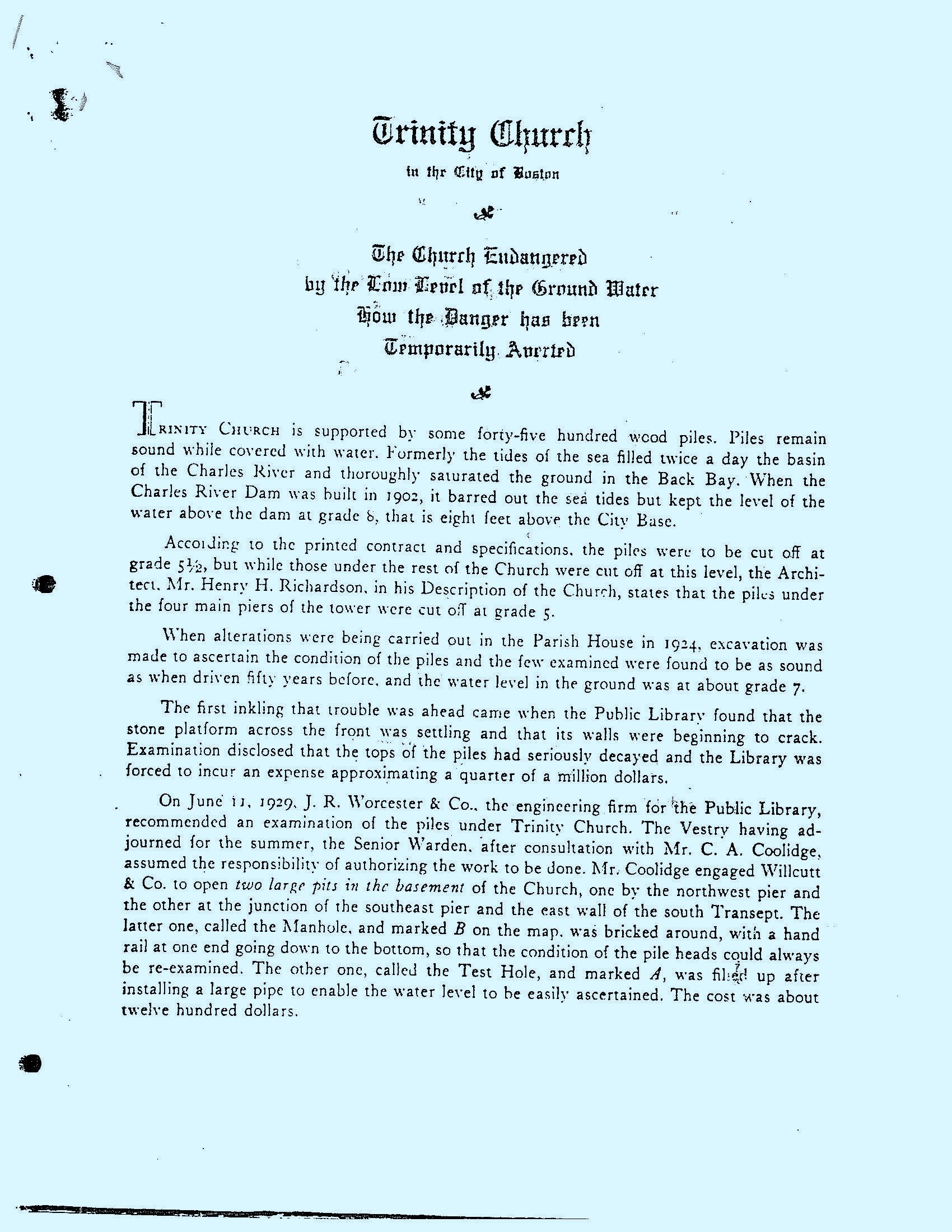
Trinity Church Report Focusing on Low Groundwater Levels (1935)
Boston College Environmental Affairs Law Review (1988)
Bacpoles: Preserving Cultural Heritage by Preventing Bacterial Decay of Wood in Foundation Piles and Archaeological Sites (2002-2005)
Works Progress Administration (WPA): Historical Data 1936-1940
Under a comprehensive program funded by the Works Progress Administration (WPA), extensive measurements of groundwater levels were conducted during the period spanning from 1936 to 1940. Approximately 1,000 observation wells were strategically installed throughout the filled-land areas of Boston, which included notable neighborhoods such as Back Bay, Lower Beacon Hill, South End, Fenway, Chinatown, Bay Village, and East Boston. However, only a limited selection of data collected during the original 1930s study remains accessible today. This available data includes the first recorded water level reading in each well, as well as the lowest and highest water levels measured throughout the four years of meticulous observations. Additionally, the last reading taken for each well is included in the available records. The specific dates on which these four important readings were made are also documented. Please refer to the links below for the detailed data collected during that time, as described above.
WPA survey is provided in the PDF reports linked here: (Report 1) (Report 2) (Report 3) (Report 4)


